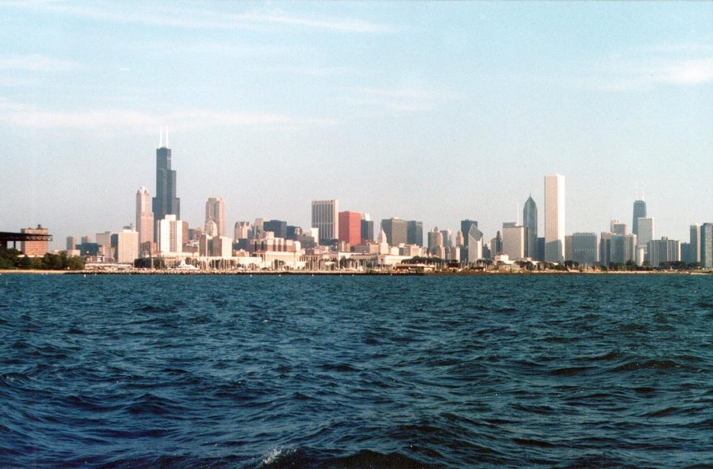
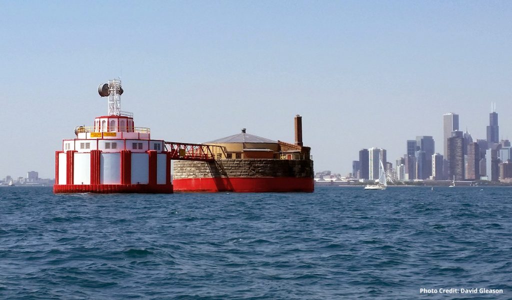
Long term studies to identify, document, and map benthic habitats and water quality off Chicago, and support geologic exploration below the lakebed for proposed new water intakes to be tunneled farther from shore; project a result of the non-indigenous zebra mussel invasion in the Great Lakes and its affect on the drinking water in the city. Challenge was to locate expansive unconsolidated sediment areas (not hard bottom) in deeper water where the mussels cannot survive below the photic zone. Programs included single and multibeam depth sounders, side scan sonar, magnetometer, shallow and deep seismic reflection profiling as well as single and multi-channel systems, grab sampling, underwater video recording, CTDpHDO measurements, and water sampling. Extensive benthic habitat mapping was performed with the data to try and understand the dynamics of the zebra mussel infestation and future trends. Studies collected information on all existing water intakes/cribs and ultimately focused on two primary alignments for potential intake extensions into deeper water, along which high resolution sesimic data were acquired.


